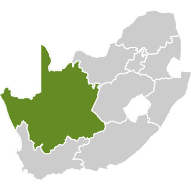

Williston covers an area of 13 264km² and became an official district in 1926. The area concentrates on sheep farming. One of the strange attractions of Williston is a Tombstone Route that showcases an exceptional form of art – stonecutting. Tombstone-making became a form of folk-art as they were skilfully chiselled out of local sandstone.
The area also has a number of fossil sites, discovered by Dr Bruce Rubidge of the University of the Witwatersrand. Rubidge discovered a fossil, Anomechephalus Africanus, on the farm Kruitfontein in the Williston district in 1995 that was later determined to be a cross between a mammal and a reptile that lived on the banks of an inland sea some 260-million years ago.
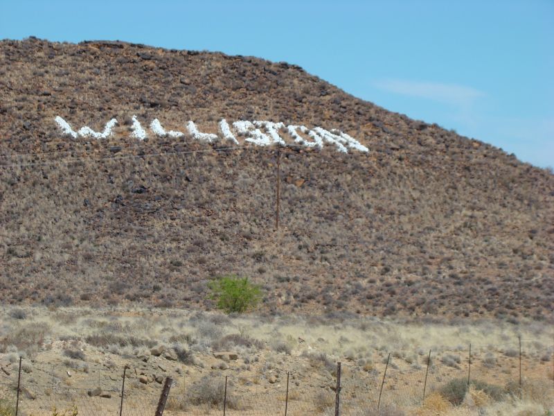
On 10 July, 1768 Johan Abraham Nel of Stellenbosch rested near a fountain close to the Sak River while his wife was giving birth to his firstborn son. Nel planted an almond tree in honour of the event that eventually served as an oasis in the dry treeless area of the Karee Mountains. The same site was visited by Johann Heinrich Lutz of Switzerland in 1845 where he established a mission station named Amandelboom (Almond tree). In 1883 the name was changed to Williston, in honour of the British Cape Colonel Secretary, Colonel H Willis. The town is situated on the beds of the Sak River, a seasonal river where unique riverbed irrigation, similar to that at the Nile River in Egypt is practiced.
East of Williston are two prominent hills that are shaped like a sugar loafs. The hills were known as ‘Sangkoppe’ in nineteenth century and later as ‘Singkoppe’ (Singing Hills). Choirs would sing spiritual songs from the hills that echoed through the area.