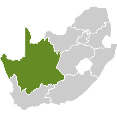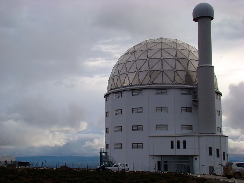


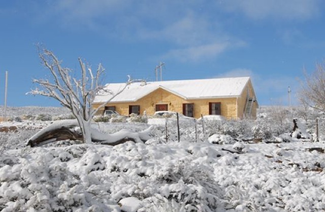
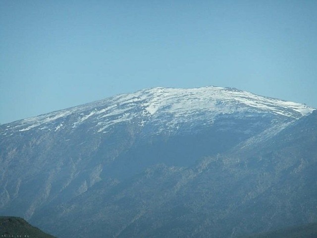
Sutherland is known for having some of the clearest and darkest night skies in the world, primarily due to its remote location and high altitude. It is for this reason that the Southern Africa Large Telescope (SALT) was constructed on high-lying area just outside of town. The town is situated at a height of 1456m above sea level on the south-western escarpment of the inland plateau. Sutherland is regarded as the coldest place in South Africa with the lowest temperature ever recorded at -16.4°C in July 2003.
Showing the connection between Sutherland and the Observatory plinths for the nine planets of the solar system were built to scale. They were chiselled from local building stone and put along the main road. On each pedestal the size of the sun is represented by a black disc and the size of the planet is represented by a small disc in the middle. Craftsman of the local community dressed the stonework. This project is generally known as the mile of stars or Planetarium Highway.
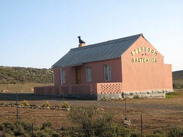
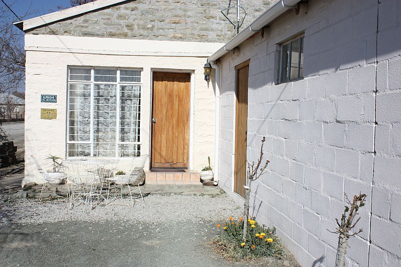
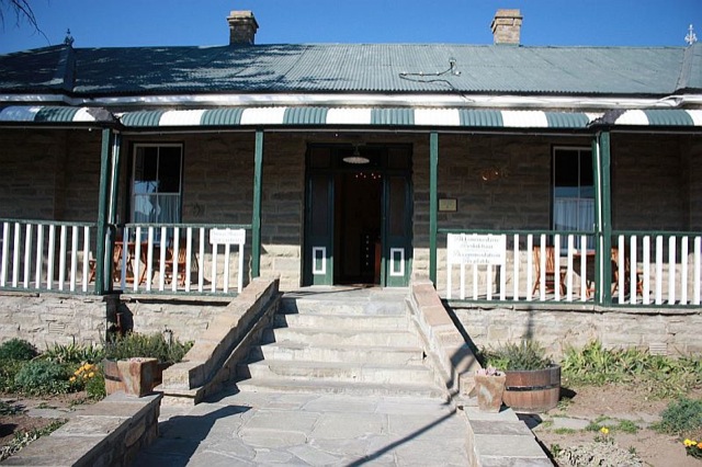
Sutherland originated on the farm De List as a centre for the wool producing district of the Roggeveld and was named after Rev. Henry Sutherland, who came to the Roggeveld annually from Worcester for church services. The town’s church walls still feature inscriptions made by British troops during the Anglo Boer War. The nearby Mission Church was constructed in 1913 and is used today as a community hall today. For those interested in Afrikaans literature, the Louw Museum is worth a visit. Louw Museum is the home in which the winter-poet N.P van Wyk Louw and W.E.G. Louw were born.
At an altitude of 1404m above sea level and 45km from Sutherland lies the picturesque Ouberg road through the Roggeveld Mountains. The road follows one of the first entrance routes used by pioneer farmers from the Ceres Karoo.