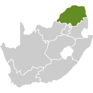


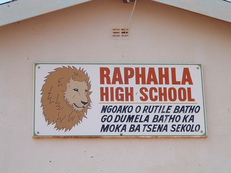
The Seraki Blouberg Route is located at the foothills of the Blouberg Mountain where there are about 117 settlements that are home to around 161,322 inhabitants. Economically, Senwabarwana is the capital of this area, and is also where most of the villages do their grocery shopping.
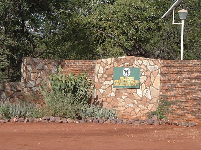
The route stretches through a few of these villages, highlighting interesting projects, natural attractions and an amazing range of cultural heritage and natural treasures. The boundaries are formed by Blouberg Mountain, Makgabeng Mountain, Maleboch Nature Reserve on one side and Blouberg Nature Reserve on the other. The route also includes attractions on top of this majestic mountain, deeply entrenched in the history of its people.
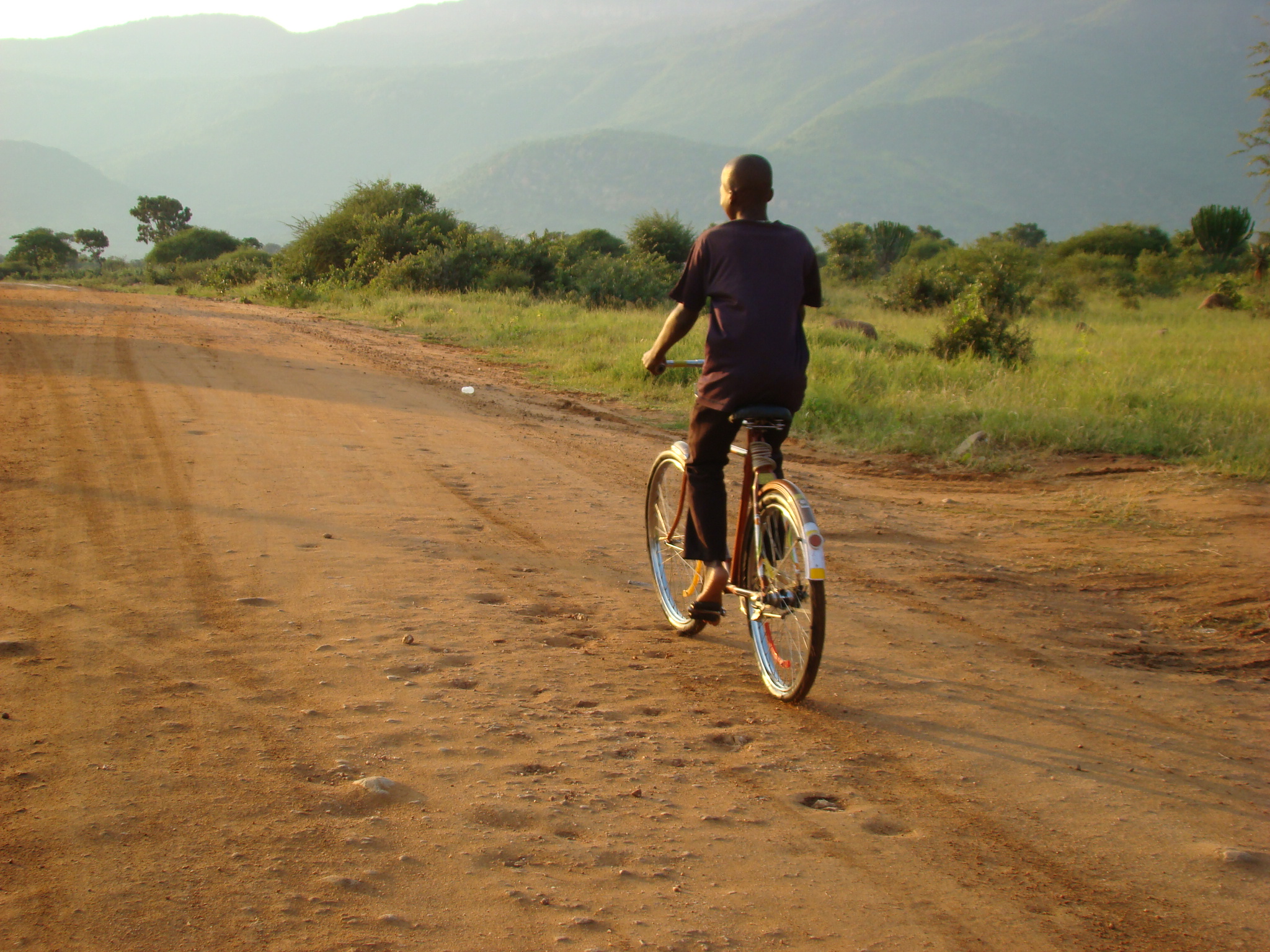
This place called ‘Blouberg’ symbolises the ‘Africa‘ that otherwise is lost within the age of globalization, where trends and fashions as well as identity are shaped by brands, movies and media. Visiting projects and attractions on this route, one cannot help but sense the footsteps of the ancestors, the whispers of nature and the vision of a Creator. Villages in utter poverty but with incredible wealth in natural and cultural assets. The sense of community makes a city dweller feel jealous, as the isolation of the people here is compensated for by their connectivity to each other. Buried in this route is the treasure of history, heritage and a sense of Africa.
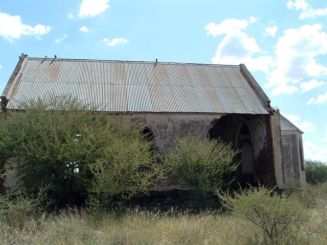
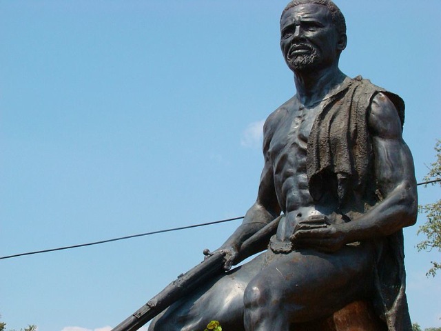
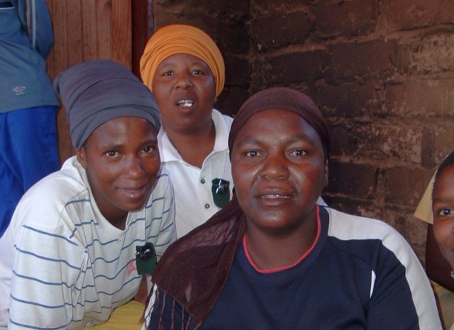
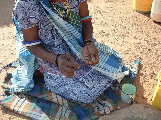
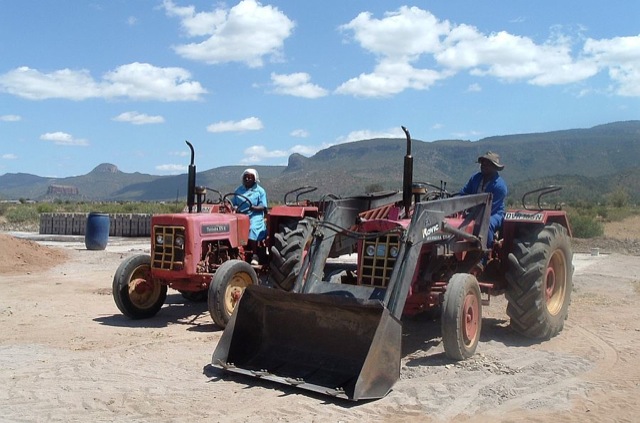
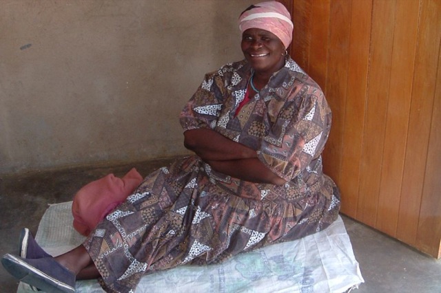
The people who live here are mostly Bahananwa, Batlokwa and a small portion of VhaVhenda groups, with a few minority groups, such as Northern Sotho. The area’s most striking features are its history, natural assets and culture. Its rich history of resistance to the early 19th century Boer colonial incursion and also during the introduction of the Bantustan homeland system in the Apartheid era, has left many traces. The consequences of resistance have shaped Blouberg as it is today, where communities were left behind and neglected with no development of basic infrastructure or attention given to other developmental needs. Today it is one of the least developed regions in the province, with high unemployment and the lowest level of income in the country.
Travel tips:
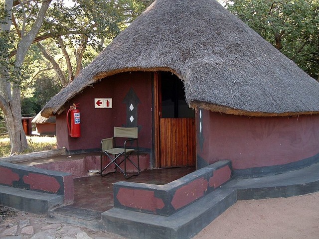
When travelling this route it is advisable to make use of a local guide, either by contacting Blouberg Tourism Association (Patrick Morata) or through the African Ivory Route (Blouberg Camp). Projects are not that easy to locate without a GPS, and using a guide who can act as an interpreter adds value to visits. A 4×4 or a bakkie (light truck) is recommended, or a vehicle that is not too low on the ground and stable on dirt roads. In the rainy season (summer) it is almost always better to make use of a bakkie or 4×4, as the roads are not always accessible by car.
It is also very important to remember to go with an open mind, to try and absorb as much as possible and to enjoy the beauty of the people and the place.
Reasons to visit:
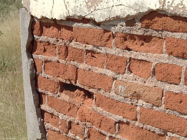
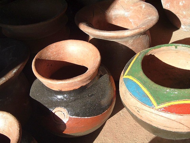
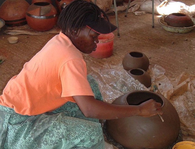
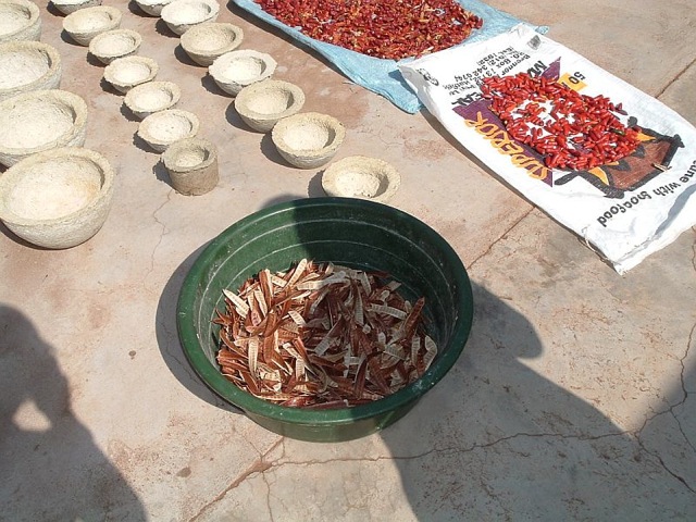
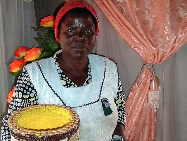
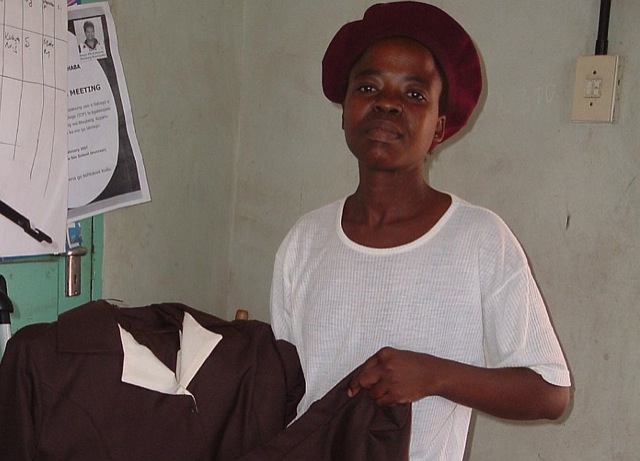
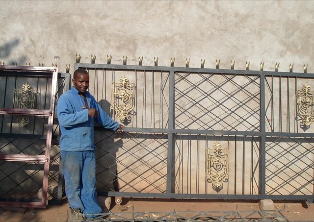
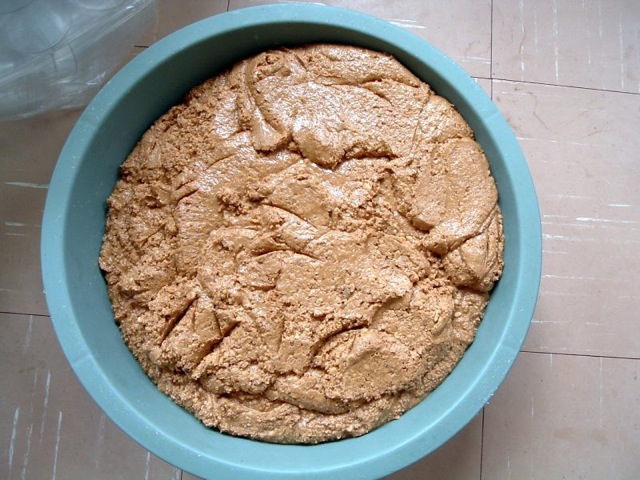
Visitors can enjoy natural attractions, unique rock-art paintings, a wide range of fauna and flora, ruins that speak of past turmoils, vibrant cultural experiences, with opportunities for adventures in the form of rock climbing, hiking and exploration in breathtaking natural settings. Projects include agriculture, brick-making, arts and crafts, community development and social awareness. Visitors can buy products, view agricultural initiatives and enjoy the keenness with which the locals are willing to share their experience. What also makes these projects and their products distinctive, is that they are made to be sold locally. Thus they are not tainted by the usual pre-conceived ideas of what tourists would like, but rather carry a distinctive, authentic quality that makes them even more special.
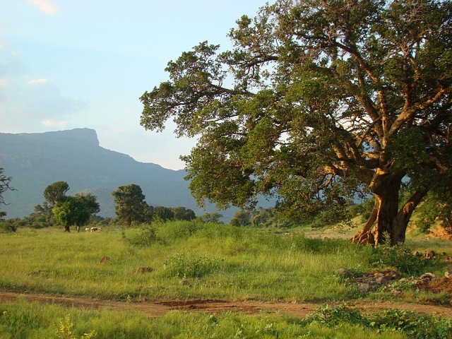
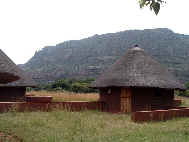
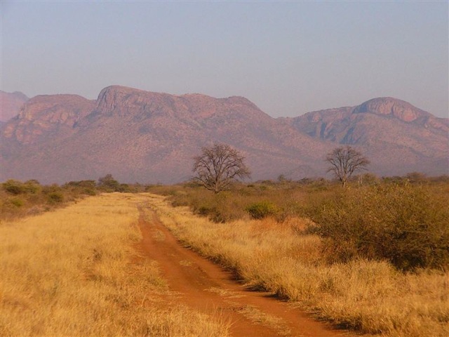
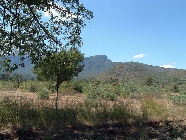
The route’s setting is also uniquely attractive. The mountain itself is very special, not only in its aesthetic presence, but also in terms of its exceptional features. Blouberg Mountain, originally ‘Blauwberg’ was named by the German missionaries and white settlers when they first came into this area. They named it so, because of its hazy blue appearance when viewed from afar. The indigenous people, however, have interesting names that describe different parts of the mountain.
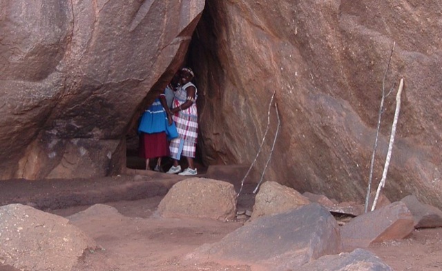
Other interesting sites on the mountain include rock-art paintings, which are quite small and not well protected, but worth a visit even just for the beautiful walk on the way there. There is also a small footprint fossilized in a piece of rock. No one is sure where this comes from and no research has been done on it.
From a scenic point of view, hiking up the mountain and staying at camp on the mountain provides a chance to re-connect with nature. Surrounded by the sounds of birds and baboons, the only reminders of humans are the sound of cattle bells and perhaps a song in the distance of women gathering wood or fetching water. On top of the mountain there are streams, pools and waterfalls, with intricate rock features. Here and there large pieces of rock that have broken off the mountain are positioned as if an artist has been decorating the face of the mountain with sculptures. The rocks have traces of where water trickled down and are proof of the nutrient quality of the water that separated Blouberg Mountain from the Soutpansberg mountain range.
What makes this route distinctive is not only the mountain and its amazing features, but also the people and their culture. The people of Blouberg live mostly in poverty, but strangely enough seem more content than most in modern day’s rat-race. As explained earlier, the villages include different cultures, but at no time does one experience a sense of disparity. Some communities still live on the mountain and have very little contact with the modern world, apart from going down once or twice a month to stock up on basic necessities.